Bike rental
"On this particularly hilly section, the Via Allier route recalls the everyday lives of the miners who extracted coal from the pits to store it on the rafts - these large flat-bottomed boats navigating the Allier and then the Loire.
The landscape, with viewpoints along the way over the Sancy massif and the mounts of Cantal, alternates between valleys and rocky peaks with remarkable villages such as Nonette, Usson and its volcanic organs or the very pretty fortified village of Bansat. Another interesting site is Parentignat’s suspended bridge over the Allier, built in 1830 and listed as a Historic Monument.
Max. altitude: 486m
Elevation: 340m
Positive elevation: 340m
Route type: One way
Distance: 27.2km
Itinerary duration: 0.5 day(s)
Daily duration: 1.8333333333333
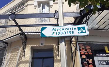
If you are starting from Issoire, you can get to the Via Allier by following the signposts for ""accès V70 sud"" until Varennes-sur-Usson via the D996 passing through Parentignat. When crossing the Allier you will be near the old suspended bridge over the Allier. Once you have joined the cycling route continue via Saint-Rémy-de-Chargnat, Saint-Martin-de-Plains and Orsonnette before crossing the Allier at Le Saut-du-Loup (confluence of the Alagnon) to reach Brassac-les-Mines along the river on the D711.
Connection to the ""Tour in the Land of Queen Margot"":
At Varennes-sur-Usson, take the D996 towards Parentignat (approx. 8km). You return to Saint-Martin-des-Plains by taking the D123 towards Brassac-les-Mines.
Information: Auvergne Pays d'Issoire tourist office"
Useful information